
UAV Search and Rescue Consulting – Emergency Services
Search and Rescue
We can provide UAV SAR with the tools needed to help implement UAVs into the operation. Aerial search for lost persons is extremely costly with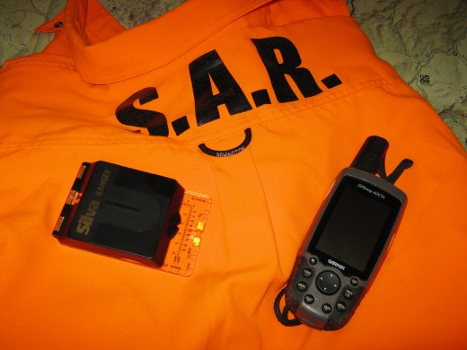 traditional fixed wing aircraft and helicopters. Small, highly maneuverable UAV search and rescue may aid and support search efforts in many situations for a fraction of the cost in risk, and resources. Via first person view technology, you can survey extensive terrain in real time. Once the subject is located, the exact GPS location is relayed back to the ground station crew and the recovery can begin. On-board video can also be downloaded for post-flight inspection. Average flight times performing UAV search and rescue is usually between 10-25 minutes giving the pilot enough time with several batteries to scan an area miles in diameter using a zig-zag sweep pattern or expanding spiral search pattern. One of our UAVs can do in minutes what a ground crew can do in hours.
Fire Investigation
If you need to get aerial photos or videos of a fire scene, an unmanned aerial vehicle can provide multiple angles that an aerial truck cannot
Fire Scene Control / Management
For larger fires, with a UAV responding in time, it can provide an aerial view to the fire command to assist in resource deployment.
Hazardous Environment Investigation
Many UAVs can operate in environments that may present a hazard to your personnel. We can help you to get an up-close picture of a situation without endangering your personnel.
Transportation Disaster Management / Investigation
In the event of a train derailment, a UAV can provide aerial photography and/or aerial video services to assist in the deployment of emergency resources. If the train contains hazardous tank cars, it can provide a means to make a visual assessment from a safe distance. The unmanned vehicle is able to get close to, but not disturb the scene, to get detailed photos for investigation purposes. In the case of a chemical spill, it can provide an aerial view of the extent of the spill, and the potential environmental impact.
Damage Assessment
Aerial photographs and aerial video can provide long lasting and very useful media for assessing damage of natural and man made disasters.